
Cart
0
The Southern Alps — a mountain range I’d never managed to visit before, mostly because of the poor access from the Kansai area.
Since I was finally going, I decided to make it count: a 3-day, 2-night trek covering four of Japan’s “100 Famous Mountains,” including climbing the legendary Kuroto Ridge.
Day 0
It was early September.
Still humid, but after a typhoon had passed, the air felt faintly autumnal.

I drove to the trailhead the night before.
Interestingly, I’d planned a trip to the Southern Alps around the same time last year, but that one was canceled due to a typhoon — it was supposed to be a week-long traverse.
Thinking back, I’m amazed I was even able to take that much time off.
Since then, I hadn’t had another chance — until now.
This time, the plan was to climb Mt. Kaikomagatake via the Kuroto Ridge, traverse through Mt. Senjō, Mt. Notori, Mt. Ainodake, and Mt. Kitadake, and descend to Hirogawara — a full loop through the heart of the range.
Day 1
7:00 a.m. — Start from the Ojiragawa Valley parking lot.
 Even on a weekday, the lot was surprisingly full.
Crossing the bridge, the steep climb began immediately.
From there it was a relentless ascent through the forest.
It was cooler than a few days earlier, but still hot — I was sweating nonstop.


Kuroto Ridge — one of Japan’s “Three Great Steep Climbs”
The title sounded intimidating, but in reality there were a few traverses and gentle sections, making it more manageable than expected.
Those flatter stretches were a welcome relief for my legs.


Small shrines appeared along the way, and from open spots I could see Mt. Yatsugatake in the distance.
Some clouds, but otherwise fine weather.

Crux Section
Just as I was thinking it wasn’t too bad, the ladders and chains started after the 5th station.

Remnants of the 5th-station hut still stood
The climb suddenly turned into a near-vertical chain route, full of ladders bolted onto rock faces — it finally felt like the Kuroto Ridge’s reputation.

11:30 — Arrived at Nanajō-goya Hut.
My merino base layer and long pants were drenched. I’d dressed for the cooler ridge temperatures — a total miscalculation.
And there was still over 500 meters to the summit.

My merino base layer and long pants were drenched. I’d dressed for the cooler ridge temperatures — a total miscalculation.
And there was still over 500 meters to the summit.
I took a short break.
Some hikers coming down told me they’d done day trips up and back the Kuroto Ridge — impressive stamina.
Apparently, there had been a total lunar eclipse the night before, and a few had hiked to the summit at night to see it.
People really come up with all sorts of ideas.

Nanajō-goya Campsite
Someone was camping there with a Dyneema one-pole shelter — very cool setup.
More ladders and chains followed. My legs were starting to feel it, and two young hikers flew past me carrying only small packs. Incredible pace.

As the trees thinned and the wind picked up, I started to feel chilled — merino or not, being soaked doesn’t help.
I’d chosen 100% wool, which wasn’t drying at all.
While climbing, I couldn’t help but think about what gear would’ve been better. But that’s part of the learning process.

Mt. Kaikomagatake
1:20 p.m. — Summit.
Completely shrouded in fog.
Though the trail was well maintained, the ladders and chains had taken their toll.
I hid behind a rock to rest and drink the water I’d refilled at the hut — delicious and pure.
Sometimes mountain water doesn’t agree with me, so I always carry powdered green tea just in case, but today there was no need.

Just as I was about to leave, the clouds briefly cleared, revealing the dramatic ridgeline.

The peak of Marishiten.
From there the trail turned to loose gravel.
I took out my trekking poles and carefully descended.
This time, I was using OHMI’s Carbon Fiber Trekking Poles — my first shock-absorbing poles in over a decade. Surprisingly comfortable, and forgiving when tired.

Padded strap — even the small details are thoughtfully designed.
The trail split several times; faint footprints made it easy to get off track.
Red marker plates helped guide the way — I kept checking my GPS to avoid mistakes.


The descent was long and steep, with large rocks even in the forested sections — mentally exhausting.
A bit of drizzle fell, but under the trees it wasn’t bad; I preferred getting a little wet to overheating in rain gear.
Toward Sensui Hut
3:30 p.m. — Sensui Pass.
The landscape shifted dramatically — now a rocky valley floor filled with boulders.
Only a few kilometers away, yet the terrain and vegetation had completely changed — one of the things I love about the Southern Alps.

Walk while using the cairns as landmarks.
Sensui Hut at 3:50 p.m.
I was the only camper that night — perfect.

They’re building a new hut in the back.
I bought a beer from the hut and enjoyed a quiet evening — moments like that are why I go to the mountains.

Day 2
2:30 a.m. — Depart Sensui Hut.
I woke up in the middle of the night and couldn’t get back to sleep, so I figured, why not start early?

A cozy, peaceful campsite — thank you, Sensui Hut.
5:00 a.m. — Ōtakigashira.
Feeling sluggish, a bit nauseous, even a headache.
I took a long break, let a few hikers pass — most were doing a day-trip up Senjō.
Ate some rehydrated rice, took medicine and water, and waited until I felt better.
Soon, a beautiful sunrise painted the sky in subtle gradients — breathtaking as always.


steep rocky slope continues — take it slow and don’t rush.
Small Mt. Senjō at 6:00 a.m.
The headache was gone. The cold morning air felt refreshing.

From here, I could see Japan’s top three peaks all lined up — what a view.

Descending into shade, the temperature dropped to near freezing.

I reached the hut hoping for hot food, but it was cleaning time — no luck.
I ate a quick snack outside and moved on.
The “Queen of the Southern Alps”
Clear skies, icy wind. Didn’t linger long.


Clear skies, icy wind. Didn’t linger long.Rested there; chatted with another solo hiker from Shiga.
We commiserated about the cost and effort of reaching the Alps from Kansai — a common struggle.

Mt. Daisenjō, which is lower in elevation than Mt. Senjō.
Senshio Ridge
We parted ways, and I continued along the long Senshio Ridge.

Even at 2,500 m, the trail was forested — I love walking through woods like that, though it came with plenty of ups and downs.


After more than seven hours on my feet, fatigue set in.
I stopped checking my GPS — knowing how little progress I’d made was demoralizing.
Instead, I focused on walking steadily, telling myself, “This is training.”

The water source at Takamochi Pond.
2:00 p.m. — Mt. Mitsumine.
The ridge was as long as rumored — and I was only halfway to Mt. Shiomi. Six more hours to go!


Wind picked up, clouds thickened — I hurried toward my next campsite.
Kumano-daira
3:00 p.m. — Kumano-daira Hut.To my surprise, a group of students were camping nearby with a huge tent. I set up a bit apart, facing Mt. Notori.

The hut keeper warned of heavy rain tomorrow afternoon — worse than earlier forecasts.
I decided to change plans: skip Mt. Notori and aim to cross Kitadake early and descend to Hirogawara tomorrow.
A day and a half shorter than planned — but safety first.


Day 3
3:30 a.m. — Depart.
Headlamp on, retracing yesterday’s rocky ridge.
Even though I’d already climbed it, it felt completely different in the dark.

Strong winds — around 10 m/s — cut through my rain jacket.
I kept moving to stay warm as the sky began to brighten.

Mt. Fuji and Mt. Notori glowed in the dawn light.

Gale on the Ridge
6:00 a.m. — Mt. Ainodake.
Too cold to rest; I pressed on toward Kitadake Hut, about an hour away.


Thank goodness for the rain mitts I’d added that morning — without them, the climb would’ve been brutal.
Looking back, I saw cap clouds forming over Senjō and the southern peaks — bad weather incoming.


Mt. Kita-dake is also experiencing rough weather.
7:00 a.m. — Arrived at Kitadake Hut.
Plenty of time to spare, so I took a breakfast break — cup noodles never tasted so good.
By then, the clouds were thinning.
I quickly packed up and headed for the summit.


The highest peak of the Shirane range.
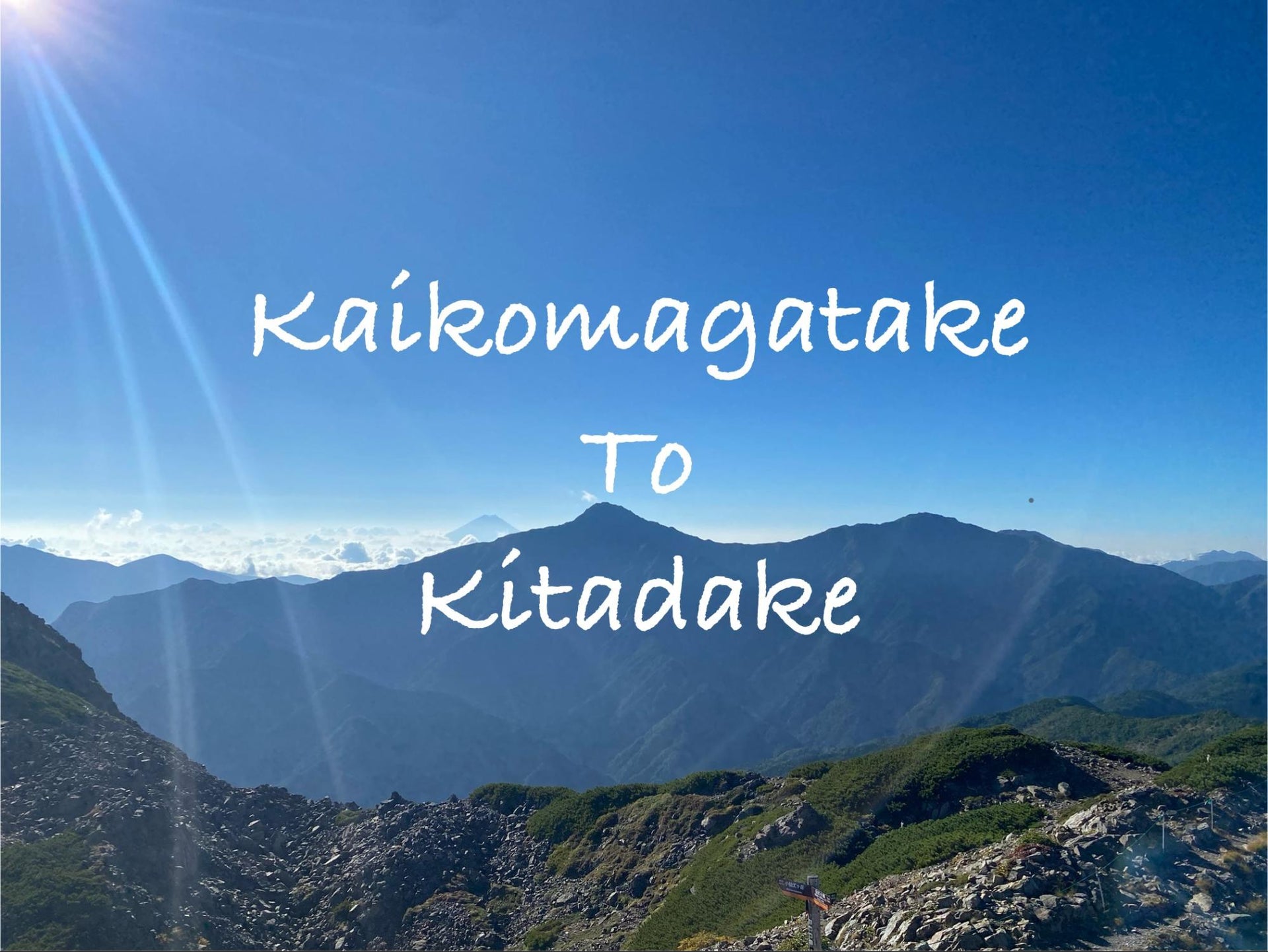
8:40 a.m. — Kitadake Summit (Japan’s second highest peak).
The view was stunning — Mt. Kaikoma and the Senshio Ridge stretched endlessly behind me.
So glad the weather held.

But storms were forecast, so I began descending early.

Kita-dake Hut

Following the Kusasuberi Route toward Shirane-Oike Hut,
the temperature rose with altitude loss, and the fine scree made for slippery footing.
Long descents are always tough — mentally and physically — but I managed without falling.


Shirane Oike Hut.
Descent
12:20 p.m. — Arrived at Hirogawara Lodge.
The next bus was at 2 p.m., just enough time for a shower and lunch.
As I stepped out of the shower, rain began to fall — perfect timing.


I didn’t make it to Mt. Notori this time,
but it was an incredible journey — the vast ridgelines of the Southern Alps stretching endlessly into the distance,
and the deep forests below.
I can’t wait to come back and keep walking those mountains someday.

